The Rosebud Marathon
A beautiful multi terrain marathon in the second garden of EnglandCOURSE description
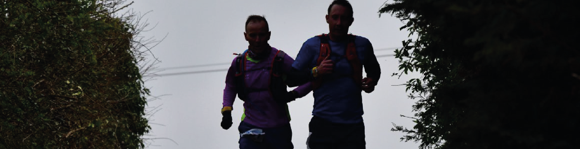
The Rosebud Marathon is a section of the Rose of the Shires Ultra Marathon starting in Ashton Road, Hartwell and finishing at Brixworth Country Park just outside of Northampton in a wonderful central location. The route is a mix of footpaths, country trails, roads and canal towpath
The route is 14 miles of cross country trails; 10.4 miles of roads; and 1.8 miles of canal tow path . Elevation is +1241 ft (+378m) and -1308 ft (-399m)
course marking
The course follows a waymarked route but requires some navigation. We provide a tracker, voice cue navigation app and various resources to keep you on track. The course is covered by OS Maps 207 and 224
CHECKPOINTS AND AID STATIONS
There are 2 check points, each will have water, and a selection of snacks, and Go Beyond Fruit Cake! These are at approx. 9.5 miles in Gayton (CP5 on the list) and 17.7 miles in Nobottle (CP6 on the list). A drink will be available for all athletes at the finish. Each checkpoint is manned by a local running club. Details of the locations can be found here
AWARDS
Registration is open from 10.00 am where you will collect your race number. You will need to confirm your mobile phone number and be subjected to random kit checks. The bus will leave at 10:45am and the race will start at 11:30am at 2A Ashton Rd, Hartwell, NN7 2HW – you must register at Brixworth Country Park first
AGE LIMIT
Due to the strenuous physical demands of running 26.2 miles in one day and in accordance with UK Athletics guidance the race is restricted to competitors over 18 years of age only.
BAGGAGE TRANSFER
Most competitors will have their kit in their cars. For everyone else we will store your bag at the finish, so you have warm, dry clothes waiting for you . Your bag should be no larger than a UK airport carry-on bag size (56 x 45 x 25 cm).
TRANSPORT AND ACCOMMODATION
For anyone wanting to stay overnight locally either before or after the event there is Airbnb or Northampton offers a wealth of hotels to suit all budgets
Arrival by car – If you are planning to drive then there is parking at the County Park Parking charges can be found here. Please allow adequate time to park and register.
TRACKER
The Geo Tracks GPS Tracker is lightweight and easily fits in a small pocket in your rucksack. Your family and friends can track your progress in real-time and you can use the Geo Tracks app combined with the tracker as an accurate tool for navigation during the event. The Event can be followed using the web link https://events.geotracks.co.uk/live/xxxx or via the app which can be purchased prior to the event for Apple or for Android. When opening the web link please click on start times and this will display a list of bib numbers (they are sorted alphabetically by surname). The GPS Tracking units upload your position every 10 seconds to the live view tracking map and are accurate to 5 metres. Batteries last for 70 hours . Don’t forget to drop it off at the finish! To find out more please visit the Geo Tracks website.
COURSE RECORDS
The cut off time for the race is 8 hours – you must make CP5 by 3pm and CP6 by 5pm
KIT
Trail shoes are advised. There are sections of trail which can become very muddy in wet conditions. It is essential to carry the items below. There will be random kit checks prior to the race . Runners must carry the following mandatory equipment at all times.
- Fully Charged Mobile Phone including the numbers for the Race Director and Assistant Race Director given at registration
- Power bank to recharge your phone if needed
- Water bottles/bladder capable of carrying a minimum of 1 litre.
- Survival Blanket: 1.4m x 2m minimum
- Waterproof Jacket
- Whistle
- Hat and Gloves
- Long sleeved base layer or fleece top
TRAINING
Need help with your training why not try the Runna App (link on the side bar)- your discount code is GoBeyond
When you have finished why not recycle your old trainers –
WHERE
Brixworth Country Park, Northampton Road, Brixworth, NN6 9DG
start location
2A Ashton Road, Hartwell, NN7 2HW (you must register at the Country Park first)
PARKING
The lower meadow car park has been allocated for parking. The current parking rates can be found here, so please bring sufficient change.
LOCATION MAP
START LOCATION MAP
Can I go straight to the start? No you must go to the Country Park to register first. We will provide transport to the start although you can make your own way there for the race start at 11:30am
Is the course marked? No, but there are lots of footpath signs and we provide a map and lots of help to keep you on track. You are also provided with a tracker from Geo Tracks so you shouldn’t go wrong!
What’s the course like? The course is a mix of trails, paths, roads and canal to path and the terrain constantly changes.
Is there a mandatory kit list? Yes, please see the race information tab.
How many checkpoints are there? There are 2 checkpoints with water and snacks.
Do you cater for Vegans at checkpoints? Yes we try to provide vegan snacks where possible – non vegans don’t know the difference!
Are the road crossings marshalled? No, you will need to cross a number of roads with care during the event.
Where can I park? There is parking available at the Country Park for the duration of the event.
Can I have support during the race? Yes you can have your own crew – the golden rule is only do what would be possible for everyone else to do if they had a crew! Please make sure that your supporters do not get in the way of the race and other competitors.
Where can people spectate? Hartwell (The start), Stoke Bruerne, Blisworth, Gayton, Bugbrooke and Harpole are good locations
What do I do with my bag with my dry kit in for after the race? Most people leave them in their cars as the finish is next to the car park. If you have been dropped off then we can hold a bag at the finish for you. The bag should be no bigger than a UK airport carry-on bag size 56 x 45 x 25 cm. There are no bag drops at checkpoints.
What happens if I get injured or want to drop out? Please contact the Race Director or Assistant Race Director on the phone numbers shown on the front of your map book and make your way to the next checkpoint if possible or confirm your location. We will send the sweeper bus to collect you and transport you to the finish to collect your bag if you have one. If you make your own arrangements please ensure that you let us know other wise we will waste time and energy trying to locate you.
What if I forget to return my tracker at the end of the race/if I drop out? You will be required to return the tracker via recorded delivery, at your own cost. Any non returns will be charged.
What if I have a question not covered above? Please email us admin@gobeyondchallenge.co.uk


, winner David Maxan, and Michael Stadler (3rd)")
, winner Fiona Slevin-Brown, and Cate Hall (3rd)")


CP3 to CP4 (Race start line at 3:50)
CP4 to CP5
CP5 to CP6
CP6 to Finish